
IT’S JUST AFTER EIGHT on a Tuesday morning, and I’m riding on a motorbike with Kind. We’re two hours into our journey through the national highway going to Lake Sebu, and we’ve passed through the towns of Polomolok, Tupi and Koronadal, where we’ve taken refuge in a roadside shed as rains poured after heavy clouds ominously hovered overhead since getting out of General Santos. My phone app predicts a rainy afternoon but, right now, the sun has reclaimed most of the skies.
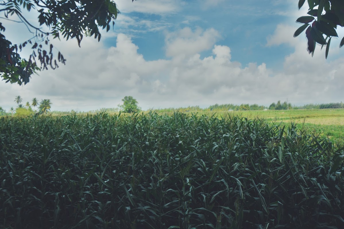
It’s not exactly an easy ride, considering that I’m wearing only sando, shorts and flops. The wind is whipping my face and is sending occasionally shivers every time the sun dodges behind the clouds. But I’m enjoying the view so far. Rice paddies and corn fields share the large spaces off the highway, with Mount Matutum towering over the horizon on one side, and another set of mountain ranges punctuating the other.

For all the urban prosperity readily apparent in its malls, cars and the overall character of its residents, the progress seems to be insulated within GenSan’s borders. Once you get out of the city – and, in fact, the city center – the pace of the daily grind suddenly disappears and the atmosphere becomes more, well, provincial. With an area of 3,706 square kilometers and much of it filled with sprawling plains and massive mountain ranges, South Cotabato also feels large.
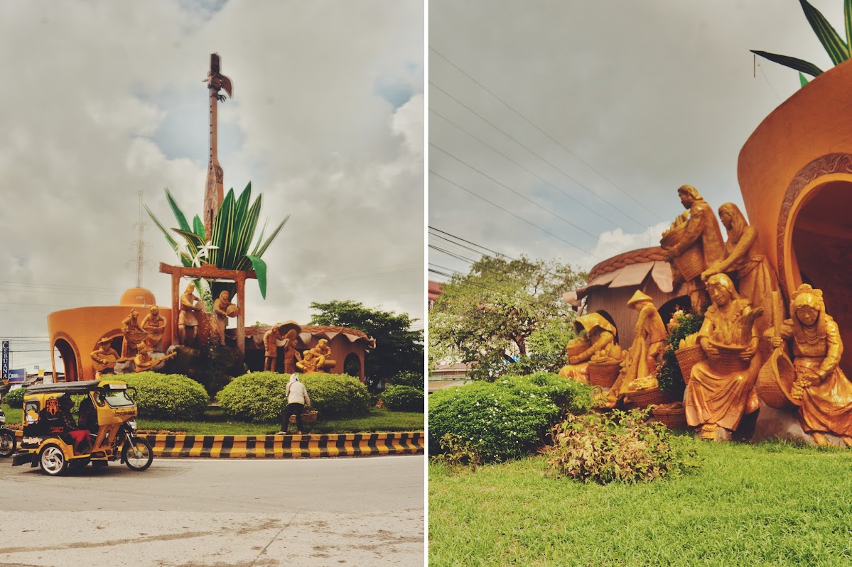
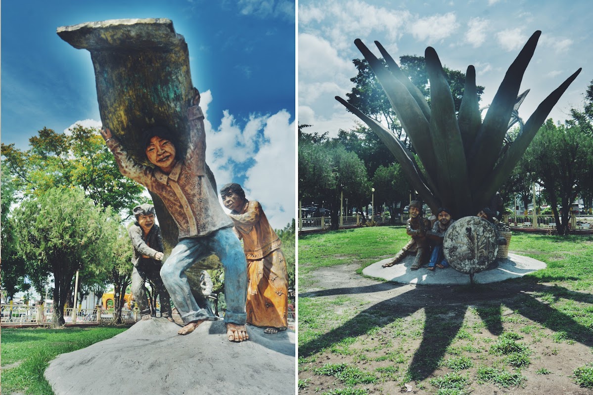
We stop at around 9 in the town center of Surallah, the first town after venturing south of the main highway. This is a relatively prosperous town, with corn and rice as its major products. There is no proper central park, which is a staple in other South Cotabato cities and towns, though the space in front of the town hall has a large space where locals can spend time hanging out under the shades of trees. Various statues are on display, depicting the culture of the T’boli, an ethnic group that resides in the mountains of the province and neighboring Sarangani.
Finally, at around ten, we pass by a large stone arch announcing we have arrived in Lake Sebu.
